Ride with bike
Ride with bike
“On two wheels around Velingrad” - with the pleasant assistance of group "Baikaria"
Short description of marked traces:
Marking on the traces is consisted of white rectangular signs (dimensions 10 by 10 sm), with green and red dots.
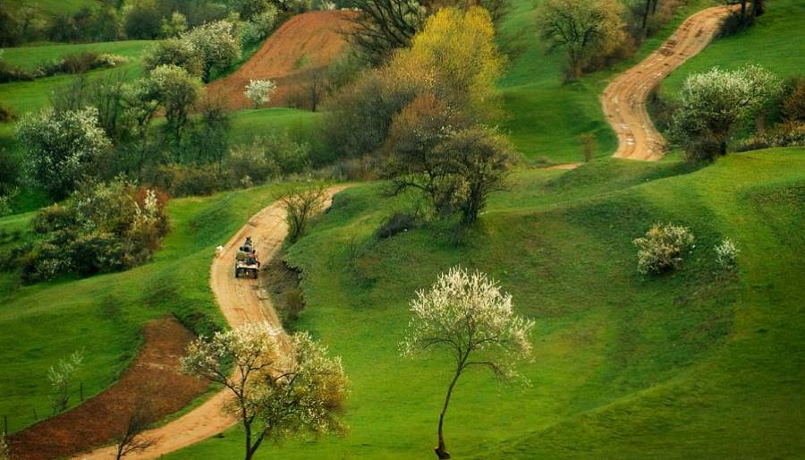
1.Major Cirrcular Trace (loop) 150 км in lenght. Trace is marked in green. It goes through forest paths. The trace follows the sides of the hills around the Chepinska valley. Clockwise starting from Velingrad, you will ride through Podopi's hills - Alabak, Karkaria, and Batashka Mountain.
Highest point of the trace: 1760m in the region of Arapchal peak (Chernovech)
Lowest point of trace: 700m at Draginovo village
Noticeable places on the trace: health resort Uindola,Chepinska river valley, Cepina castle, health resort Konstantin, Batak basin, health resort Cigov Chark, Pashinovo bardo, Removo, Blatca, Brezi, valley of Ablanica river, Saint Petka village.
2.Secondary traces - marked with red dots. Common lenght of 82 km. Divided in:
- inner, those who go from the major circcular trace to the Chepinska valley:
1. Saint Petka village - Velingrad city. Trace with 14.7km lenght and denivilation of 570m. It goes on the ridge between Ablanica and Lukovica rivers.
2. Lokvata region – Velingrad. Trace with 11.3km in lenght and denivilation of 750m. It cuts off the south-west and south slopes of Arapchal massive and goes through Gergevana location to Velingrad.
3. Kladova Chalet – Velingrad. Trace with 8km in lenght and denivilation of 860m.
4. Pashinovo Bardo region – Rakitovo. Trace with 9km in lenght and denivilation of 740m. Represents sheer descent on the north slopes of Batashka mountain in the region of Rakitovo city.
5. Batak basin – village Kostandovo. Trace with 7.4km in lenght and denivilation of 300m. Descent of the counter side of Batak basin in west direction to Kostandovo village.
- outer, traces pointing to the inner side of Rodopi and Rila Mountains, and traces heading to the Gornotrakiiska lowland:
1. Region White Water - Milevi skali peak. Side trace in th enorth part of Alabak ridge. lenght - 12.3km.
2. Region Alabashka Poliana - Belovo town. Lenght of trace - 13km at denivilation level of 1040m. Descent through the north parts of Alabak through the historical region St. Spas.
3. MIlevi skali chalet - Dolene station. Trace with lenght o f 5.9km and denivilation of 1000m. represents descent on the south slopes of Milevi skali peak to the wild canyon of Chepinska river.